Automate your fleet with geofences
A geofence turns a place into an event. Instead of watching a map to find out whether a truck has arrived, you hear about it the moment it crosses the boundary.
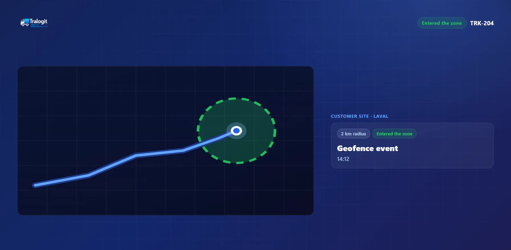
What is a geofence?
A geofence is a virtual perimeter drawn on the map around a real place. As soon as a tracked vehicle enters or leaves that perimeter, the platform records a timestamped event. The principle is simple; what matters is what it makes possible.
Places worth a geofence
- Depots and warehouses: Real departure and return times, with no manual log.
- Job sites: Time on site per asset, attributable to a project.
- Customer sites: Timestamped arrival when a delivery is disputed.
- Fuel stations: Matching a stop against a fuel transaction.
- Loading and unloading zones: Cycle duration on mine sites and quarries.
- Restricted areas: Detecting entry into a prohibited or sensitive area.
What an entry or exit triggers
A geofence event is useful because it is objective and timestamped. It becomes operational data, not just a notification.
- Notification to the manager
- Arrival and departure timestamps
- Time-on-site calculation
- Haul cycle counting
- Attaching the trip to a project
- Detecting off-route stops
The mining and quarry cycle case
On an extraction site, two geofences are enough to measure an entire operation: one on the loading zone, one on the dump zone. Each round trip between them becomes a cycle counted automatically, with its duration. That is what lets you reason in cost per tonne rather than cost per vehicle.
Avoiding the alert-flood trap
A fleet of twenty vehicles with forty geofences quickly produces several hundred events a day. Past a certain volume nobody reads them, and the system stops being useful.
- Start with your five busiest locations
- Notify only what calls for an action
- Record the rest without notifying
- Widen radii that are too tight
A radius that is too small on a large site produces repeated entries and exits as the vehicle manoeuvres near the boundary. A slightly generous geofence beats a chatty one.
Frequently asked questions
How many geofences can be created?
Can a geofence be a shape other than a circle?
Does geofencing work outside network coverage?
See the Tralogit platform
Centralise your fleet data and turn it into information your operation can act on.
Request a demo